Russia: agricultural inspectors gain right to use drone data in land control from 1 October
Rosselkhoznadzor and Rosreestr can now use UAV and satellite data to detect land violations, including on potato fields.
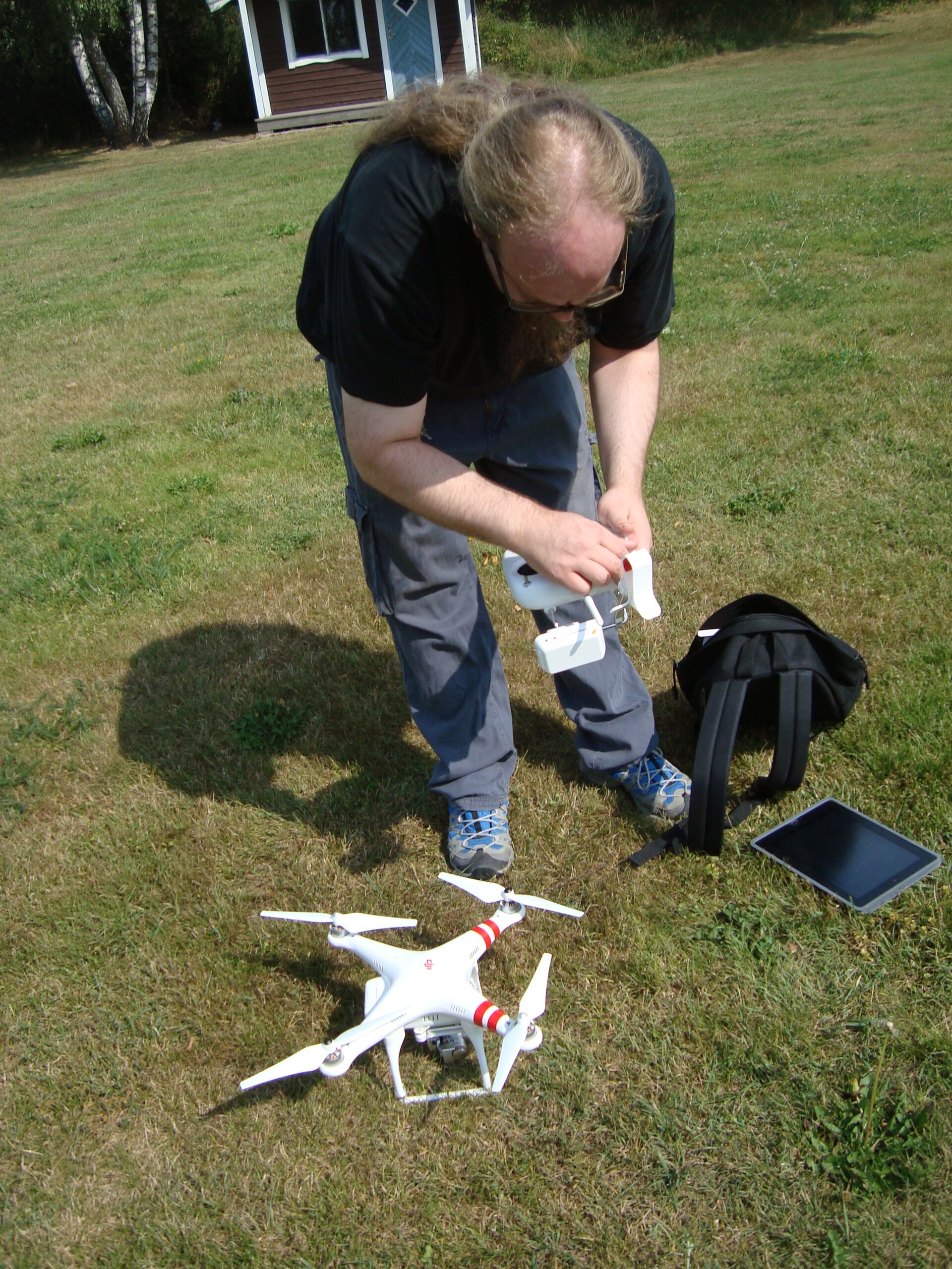
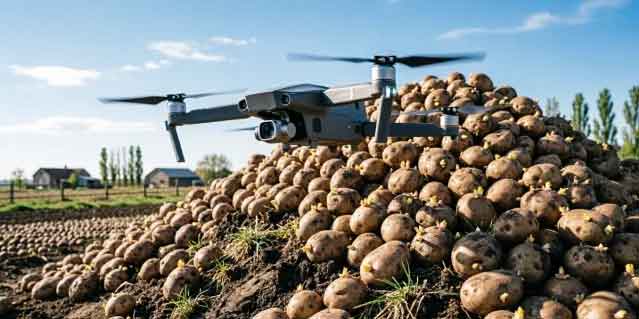
From 1 October 2026, Russia’s Rosselkhoznadzor and Rosreestr have the official right to use data from unmanned aerial vehicles and satellites during land control measures, under amendments to the federal land control regulation.
Inspectors will be able to track from the air such violations as shifting of plot boundaries onto state or municipal land, unauthorised construction, removal of fertile topsoil, and abandoned or unused farmland.
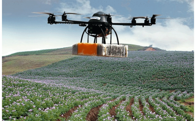
For potato producers, the change means remote verification of field use and crop rotation compliance is now possible without on-site visits.
Source: Rosselkhoznadzor, 29 September 2026.