
Global: Satellite Yield Mapping Moves From Research Plot to Commercial Farms
Satellite imagery combined with crop models now predicts within-field potato yield variation well enough for harvest planning and storage logistics.
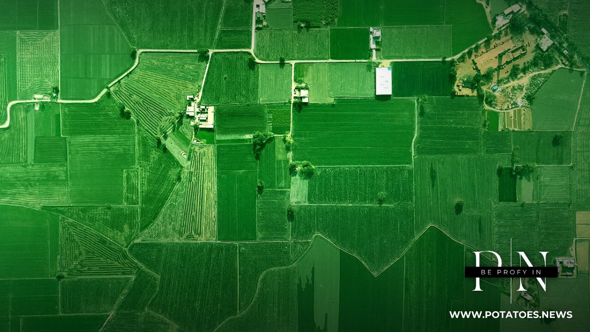
Satellite-based crop monitoring has crossed a threshold for potato growers: multi-spectral imagery combined with crop models now predicts within-field yield variation accurately enough to plan harvest order, storage allocation and marketing weeks ahead of lifting.
The practical value concentrates at harvest: knowing which fields will over- or under-deliver lets managers sequence lifting to match storage and sales commitments, rather than discovering surprises at the weighbridge.
Cloud cover remains a limitation, and services fill the gaps with modelling or drone imagery.
Weekdays. Unsubscribe in one click.
Limitations remain honest ones: satellites estimate biomass and canopy health, not tuber defects; internal quality and disease below the canopy still require field scouting and sampling.
Integration with variable-rate applications — seed spacing, fertilizer, irrigation and the timing of haulm destruction — is where the technology’s next increment of value lies, turning passive monitoring into prescription-driven management.
Sources: Gómez et al., Remote Sensing, 2019; Mhango et al., Remote Sensing, 2021; Future Farming, 2020