#Agriculture #DroneImaging #PlantCounting #PrecisionFarming #AgriculturalTechnology #High-ResolutionImagery #AutomatedPlantCounts #FarmManagement #CropYieldEstimation #SustainableFarming #Agronomy
Discover how high-resolution imagery captured with drones is transforming agriculture by providing precise plant counts across paddocks. This article explores how automated plant counting with advanced algorithms can optimize nutrient and irrigation management, detect problem areas, and estimate crop yield accurately. Unveil the potential of drone imaging to revolutionize your farming practices.
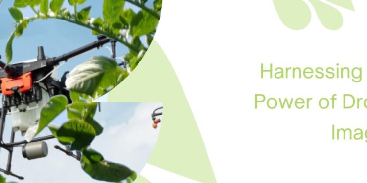
In recent years, the agriculture industry has witnessed a remarkable transformation with the advent of drone technology. Drones equipped with high-resolution cameras are now becoming an indispensable tool for farmers, agronomists, agricultural engineers, farm owners, and scientists. One of the most significant applications of drone imaging is accurate plant counting, which offers a multitude of benefits for modern farming practices.
The ability to count plants efficiently and accurately is vital for making informed decisions about nutrient and irrigation management. By knowing the exact number of plants that emerge across a paddock, farmers can optimize the distribution of fertilizers and water, reducing waste and improving crop health. This, in turn, leads to higher yields and more sustainable farming practices.
Traditionally, manual plant counting was labor-intensive and time-consuming. With drone imaging, this task becomes exponentially more efficient and reliable. Automated plant counts can now be achieved through sophisticated imagery analytics and specially developed algorithms. These algorithms are accessible through cloud-based platforms, making the process easily available for farmers and agricultural professionals.
The technology behind automated plant counting relies on the drone-captured crop imagery. These images are then processed by the algorithms, identifying and counting the plants present in the field. While this approach offers remarkable accuracy, it’s essential to consider some factors for the best results.
Weeds in the field can pose a challenge for automated plant counts, as the algorithms may struggle to differentiate between crops and unwanted plants. To ensure the highest accuracy, farmers should strive to minimize weed presence in their fields before conducting the drone imaging. Additionally, conducting the imagery early in the crop’s growth, before plant canopy closure, will lead to more precise plant counts.
The benefits of drone imaging and automated plant counting go beyond nutrient and irrigation management. By detecting problem areas early on, farmers can address issues promptly, mitigating potential losses and maximizing crop productivity. Furthermore, having accurate estimates of final crop yield allows for better planning and marketing decisions, leading to increased profitability.
Drone imaging has opened up a world of possibilities for the agricultural industry, and one of its most exciting applications is automated plant counting. Through high-resolution imagery and advanced algorithms, farmers and agricultural professionals can now accurately assess plant density across their fields. This technology empowers them to make data-driven decisions regarding nutrient and irrigation management, problem detection, and yield estimation, resulting in more sustainable and productive farming practices.
Source: Australian Potato Growers


