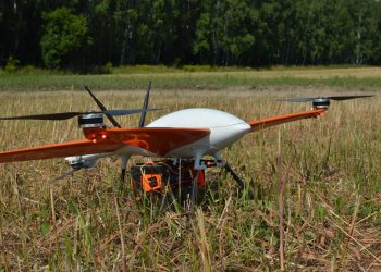
How to get geospatial data for agriculture quickly, with high accuracy and the required volume
The use of unmanned aerial vehicles (UAVs), also known as drones, and connected analytics has great potential to support and address some of the most pressing problems faced by agriculture ...