
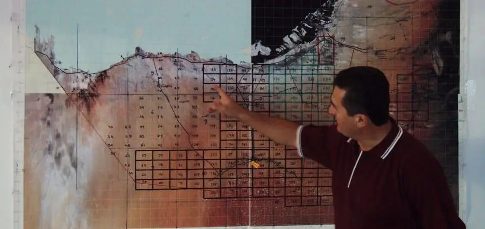
About soil Mapping
Soil Maps summaries available knowledge and present it in a graphical form for others to understand and use.
The contents of soil maps depend on the purpose, kind, scale, intensity of sampling, soil complexity and purity of mapping units required by the land user or a project.
We has pioneered an innovative 4-step mapping system for displaying soil properties in the most meaningful way. On the basis of the presence or absence of specific soil properties determining particular land use, the system is able to rate soil advantages, limitations, suitability and potentials of a land and offer solutions for soil problems and management.
This rating provides a practical means of dealing with the complex challenges that is targeted to identifiable and measurable areas of land and, in this respect, is different to other systems in use. This system can be highly selective in data selection and presentation and is particularly useful for corporates and private enterprises. It is designed to help land users to understand and visualise what the survey land is like by answering the following questions:
- How and why are soils similar or different?
- Why are the soils grouped or separated as shown on the maps?
- What are the advantages and limitations of the soils or groups of soils?
- How can such limitations be corrected using available technology?
- How can the natural soil boundaries be relocated to reduce the contrast, not only between the soils, but also between running costs and productivity?
- How to synthesise between different soils that can sustain similar kinds of practices after amelioration?
- What will the potential of the land be after corrective measures or amelioration have been implemented?
- How to avoid the twin penalties of low returns through under-use and long-term damage from over-use?